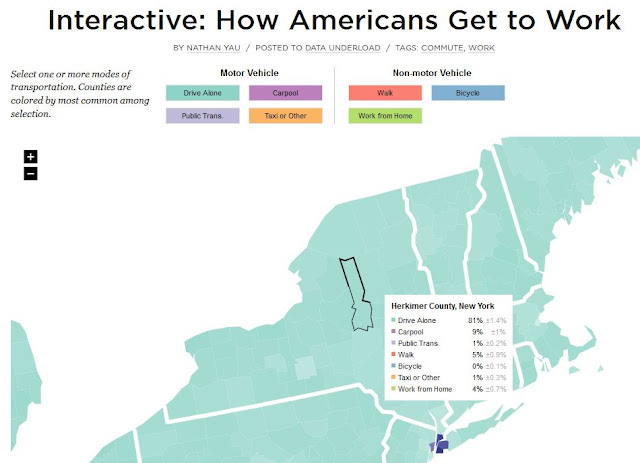
Note that the colored boxes near the top of the map break out this modes into vehicle based modes and non-vehicle based modes. By clicking the boxes (on the actual interactive map) you can toggle each mode on or off...or turn them ALL off but one to see how a county compares to the rest of the state.
So visit this mode of transportation to work interactive map and check out the info for your area !
 |
| CLICK TO ENLARGE |